GPX & Offline First
Load your track once, store it locally (IndexedDB), and keep working even when coverage drops.
Ultra Cycling Tool
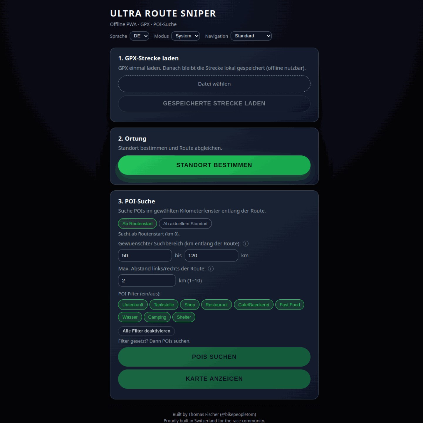
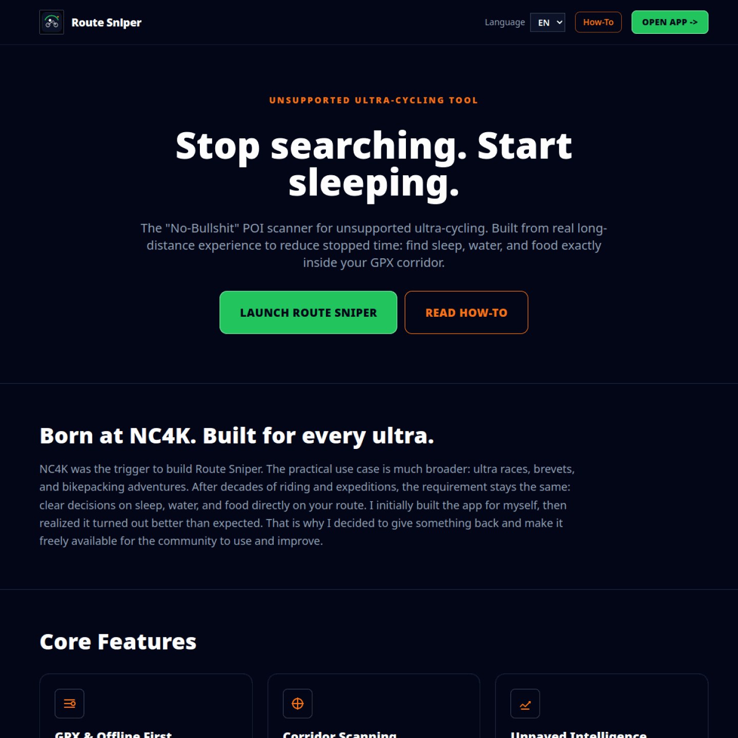
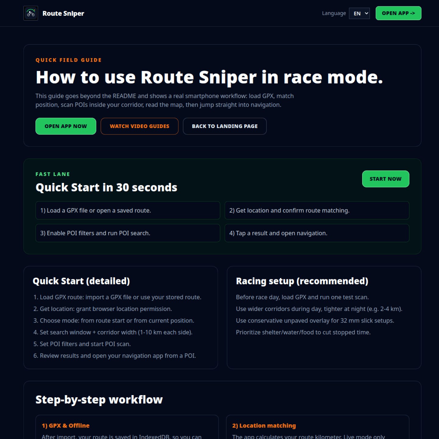
A no-bullshit POI scanner for ultra-distance riding and bikepacking. Built to reduce stopped time: find sleep spots, water and food exactly inside your GPX corridor.
Born at NC4K
Route Sniper started in Tom's NorthCape4000 preparation (an organiser-framed adventure, not a race) and now serves ultra-distance riding, brevets and bikepacking: less guessing, clearer decisions, and faster stop planning.
Load your track once, store it locally (IndexedDB), and keep working even when coverage drops.
Searches POIs exactly inside your 1-10 km route corridor instead of generic nearby results.
Surface awareness helps you avoid risky gravel or grass stretches when timing and tires matter.